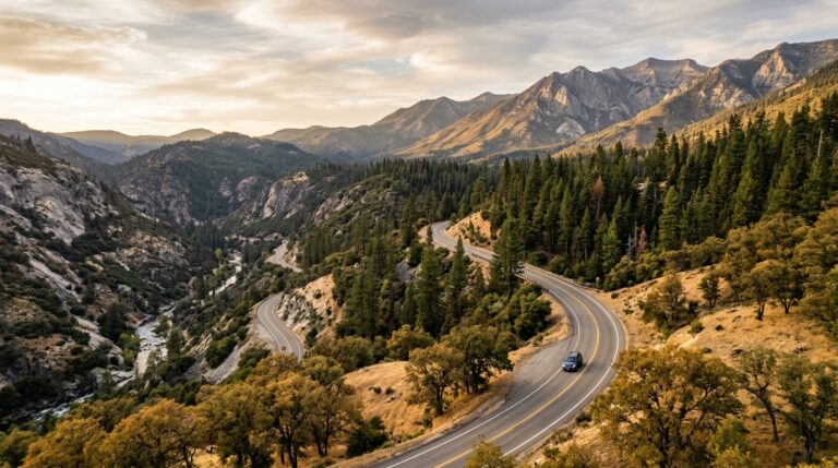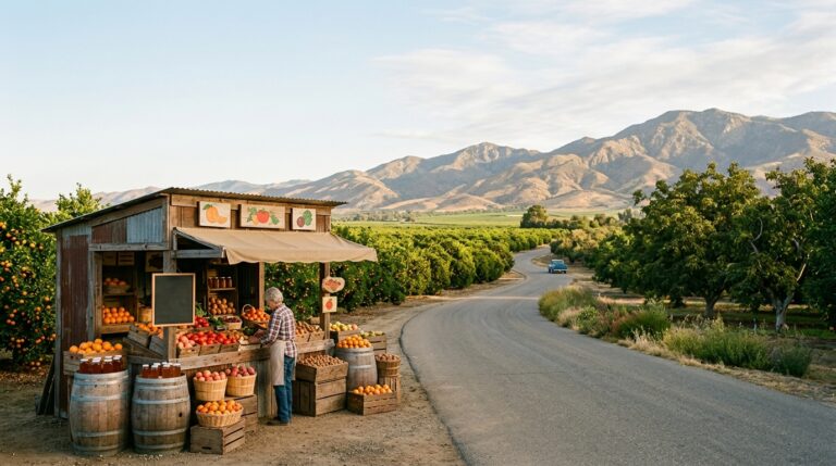
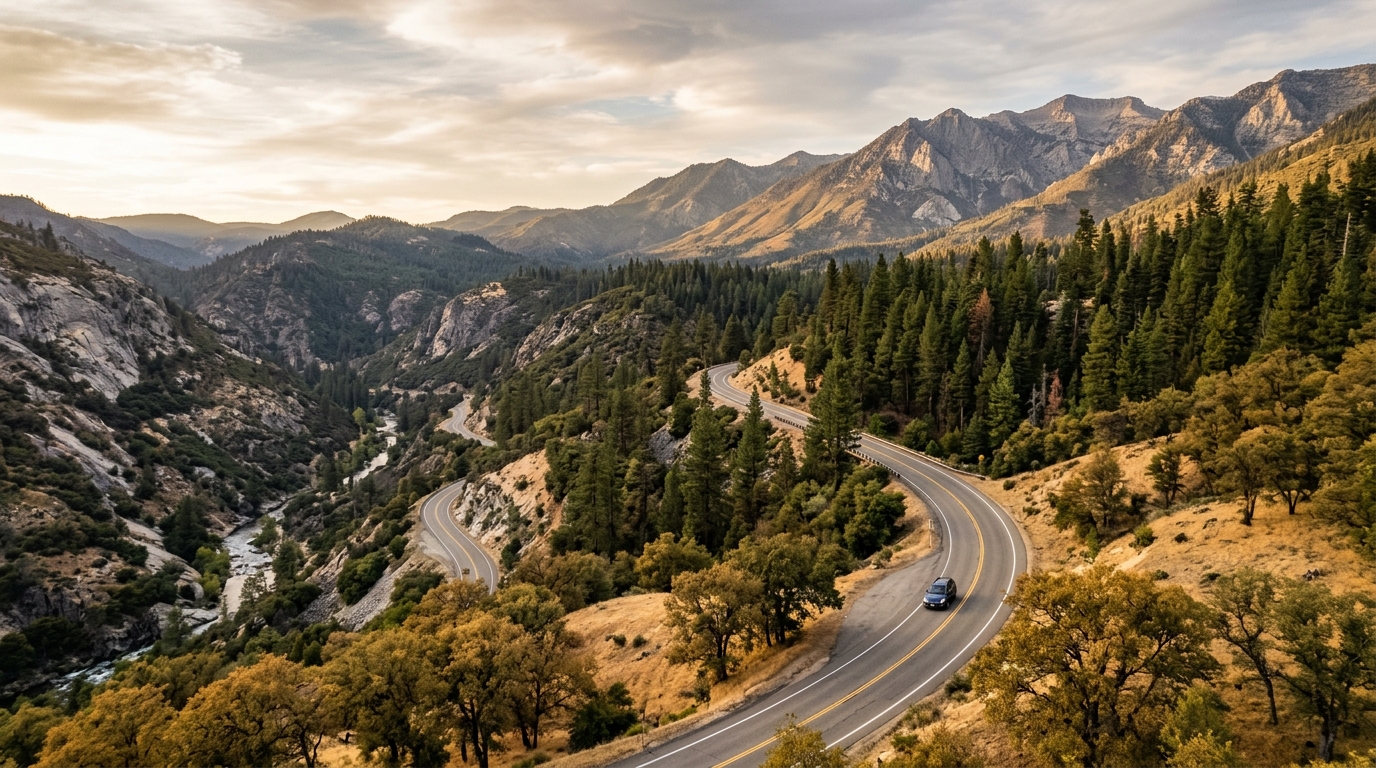
California State Route 190 offers one of Tulare County’s most dramatic road trips. The route begins in the agricultural valley around Porterville, passes Success Lake and the small community of Springville, then climbs beside the Tule River into oak woodland, pine forest, mountain settlements, campgrounds, and giant sequoia country. In a relatively short distance, the scenery changes from citrus groves and dry foothills to cool forest at elevations where weather can feel completely different.
This is not a drive to rush. Highway 190 becomes narrow and winding as it gains elevation, services become limited, and seasonal weather can change access to the higher mountain roads. A good trip allows time for breakfast in Porterville, a lake or river stop, lunch in Springville or Camp Nelson, and one carefully chosen forest destination. Check Caltrans Highway 190 conditions and the Tulare County road-closure map on the morning of travel.
Use this guide with our Getting Around Tulare County, Best Time to Visit Tulare County, and Sequoia and Sierra Guide. Travelers interested in local food can also begin the weekend with our Tulare County Farm-to-Fork Road Trip.
A Stop-by-Stop Drive From Porterville to the Mountains
Begin With Porterville, Success Lake and Springville
Start early in Porterville so you can buy fuel, water, snacks, and anything else needed before entering the mountains. Porterville is the largest service center on this route and offers the broadest choice of restaurants, markets, pharmacies, and lodging. It also deserves more than a quick fuel stop. Downtown streets, community parks, local museums, and seasonal events provide a useful introduction to the southeastern side of Tulare County.
Porterville: Breakfast, Supplies and Local History
Have breakfast in Porterville and prepare the vehicle before heading east. Fill the fuel tank even when the planned mileage appears modest; steep grades, slow traffic, detours, and idling can increase consumption. Download an offline map, because mobile coverage becomes inconsistent beyond the foothills. Carry more drinking water than expected, especially between late spring and early fall.
When schedules allow, add a short cultural stop such as the Zalud House Museum or another city attraction. Hours at small museums may be limited, so confirm before building the day around a visit. Families traveling in fall can connect this route with our Family-Friendly Fall Activities in Tulare County.
From Porterville, follow Highway 190 east toward Success Lake. The landscape quickly opens into rolling foothills with views of the Sierra ahead. Agricultural vehicles and local traffic still use this corridor, so avoid sudden stops and use proper turnouts for photographs.
Success Lake and Springville: Water, Foothills and a Meal Stop
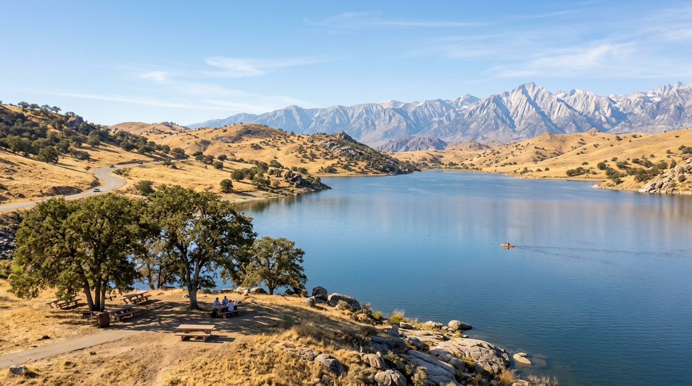
Success Lake lies only a short drive east of Porterville and makes a practical first scenic stop. Managed by the U.S. Army Corps of Engineers, the recreation area supports boating, kayaking, fishing, picnicking, wildlife viewing, and camping. Water level, shoreline access, boat ramps, and individual facilities can vary, so confirm the current situation before bringing watercraft or planning to swim.
A short lake stop is usually enough on a one-day mountain drive. Choose a designated viewpoint or day-use area, keep children away from boat-launch traffic, and never assume a quiet shoreline is supervised. Summer shade can be limited, and a parked vehicle heats quickly.
Continue east to Springville, a compact foothill community along the Tule River. This is a smart place to pause for food, restrooms, or last-minute supplies before the road climbs more aggressively. Springville’s setting is appealing, but the river requires respect. Cold water, slick rocks, deep pools, and strong current can create hazards even when the surface looks calm. Use established public-access areas and obey posted restrictions.
Drivers should reset expectations here. Beyond Springville, the road becomes a mountain route with tighter curves, elevation gain, rockfall exposure, and fewer safe places to stop. Give slower vehicles space and never pressure an unfamiliar driver into taking a curve too quickly.
Climb Through Camp Nelson Toward Giant Sequoia Country
East of Springville, Highway 190 follows the Middle Fork of the Tule River into Sequoia National Forest. The temperature often drops as the road climbs, and vegetation shifts from dry foothill plants to conifers and mixed forest. Keep headlights on when visibility changes under tree cover, watch for cyclists and wildlife, and expect occasional maintenance vehicles.
Camp Nelson, Belknap Grove and Quaking Aspen
Camp Nelson is the most recognizable mountain community on the Highway 190 corridor. It can serve as a meal stop, overnight base, or starting point for nearby forest walks. Local businesses may operate seasonally or on reduced hours, so bring enough food and water to continue safely if a planned stop is closed.
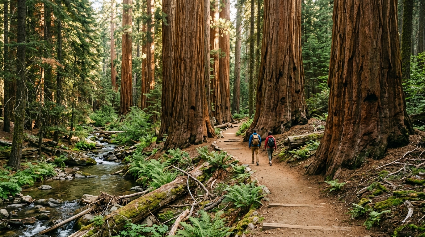
Nearby Belknap Grove is part of a complex of giant sequoia groves reached from the Camp Nelson area. Trails pass through old-growth forest near Bear Creek and the Tule River, offering a quieter experience than the busiest national-park groves. Check the Sequoia National Forest recreation page for current site status, alerts, fire restrictions, and seasonal facility information.
Quaking Aspen Campground is farther along the corridor near Camp Nelson at approximately 5,000 feet. The Forest Service describes it as a seasonal campground with trails leading toward nearby sequoia groves. Opening and closing dates depend on weather, and individual sites may not suit long recreational vehicles. Never assume that a campground listed on a map is open, has water, or can accept an oversized vehicle.
For a day trip, choose one short trail or grove experience and leave enough time for the descent. For an overnight trip, reserve or confirm lodging before leaving the valley. See our Where to Stay in Tulare County guide for planning considerations.
Ponderosa and the Trail of 100 Giants Extension
Travelers with enough daylight may continue toward Ponderosa and connect with the Western Divide Highway when that seasonal route is open. This is the corridor used to reach the Trail of 100 Giants, a paved interpretive trail through Long Meadow Grove. The trail is one of the southern Sierra’s most accessible giant-sequoia experiences, but it is not a quick roadside stop from Porterville. Allow substantial driving time, parking time, and time to walk without rushing.
Roads around the Western Divide are subject to winter closures, storm impacts, fire restrictions, and temporary maintenance. Tulare County reported that the mountain loop reopened in March 2026 after its seasonal winter closure, but future conditions can change. Do not drive around barriers or rely on a navigation app that sends traffic onto a closed county or forest road.
The Trail of 100 Giants area is at higher elevation than Porterville and Springville. Carry layers, sun protection, water, and footwear suitable for forest surfaces. Stay on the designated trail, do not climb fences or sequoia roots, and keep children close near parking areas. Dogs must follow current forest rules, and owners should bring waste bags and water.
How to Plan the Highway 190 Drive Safely
Choose the Right Season, Vehicle and Turnaround Point
Spring can bring green foothills, wildflowers, fast rivers, and cool mountain conditions, but snow and storm damage may still affect higher roads. Summer generally offers the broadest access, although Porterville and Success Lake can be extremely hot and wildfire restrictions may tighten. Fall brings cooler valley weather and appealing forest conditions, but daylight shortens and seasonal facilities begin closing. Winter requires the most caution because chains, snow, ice, fallen rocks, and road closures can interrupt the route.
A standard passenger vehicle can handle the paved highway in good conditions, but the driver should be comfortable with mountain curves and sustained grades. Check brakes, tires, coolant, lights, and fuel before departure. Long recreational vehicles should verify campground limits and road suitability rather than assuming every mapped destination is accessible.
For a relaxed one-day itinerary, visit Porterville, Success Lake, Springville, and Camp Nelson, then turn around. Add Belknap Grove only when trail conditions and daylight allow. The Trail of 100 Giants is better treated as the main destination of a longer day, not as an extra stop after a late start. A two-day trip allows an overnight stay near Camp Nelson or another mountain community and reduces the temptation to descend after dark.
Tell someone your route, carry a basic emergency kit, and keep the vehicle above half a tank once climbing into the forest. Download maps, but follow official signs and closures over digital directions. If smoke, falling rocks, thunderstorms, snow, mechanical trouble, or driver fatigue develops, turn around while conditions remain manageable.
Highway 190 rewards travelers who slow down. The value of the drive is not only a single viewpoint or famous grove; it is the progression from Porterville’s valley setting through Success Lake, Springville, river canyon, mountain communities, and giant-sequoia forest. With an early start and a realistic turnaround time, the route becomes one of Tulare County’s most memorable road trips.